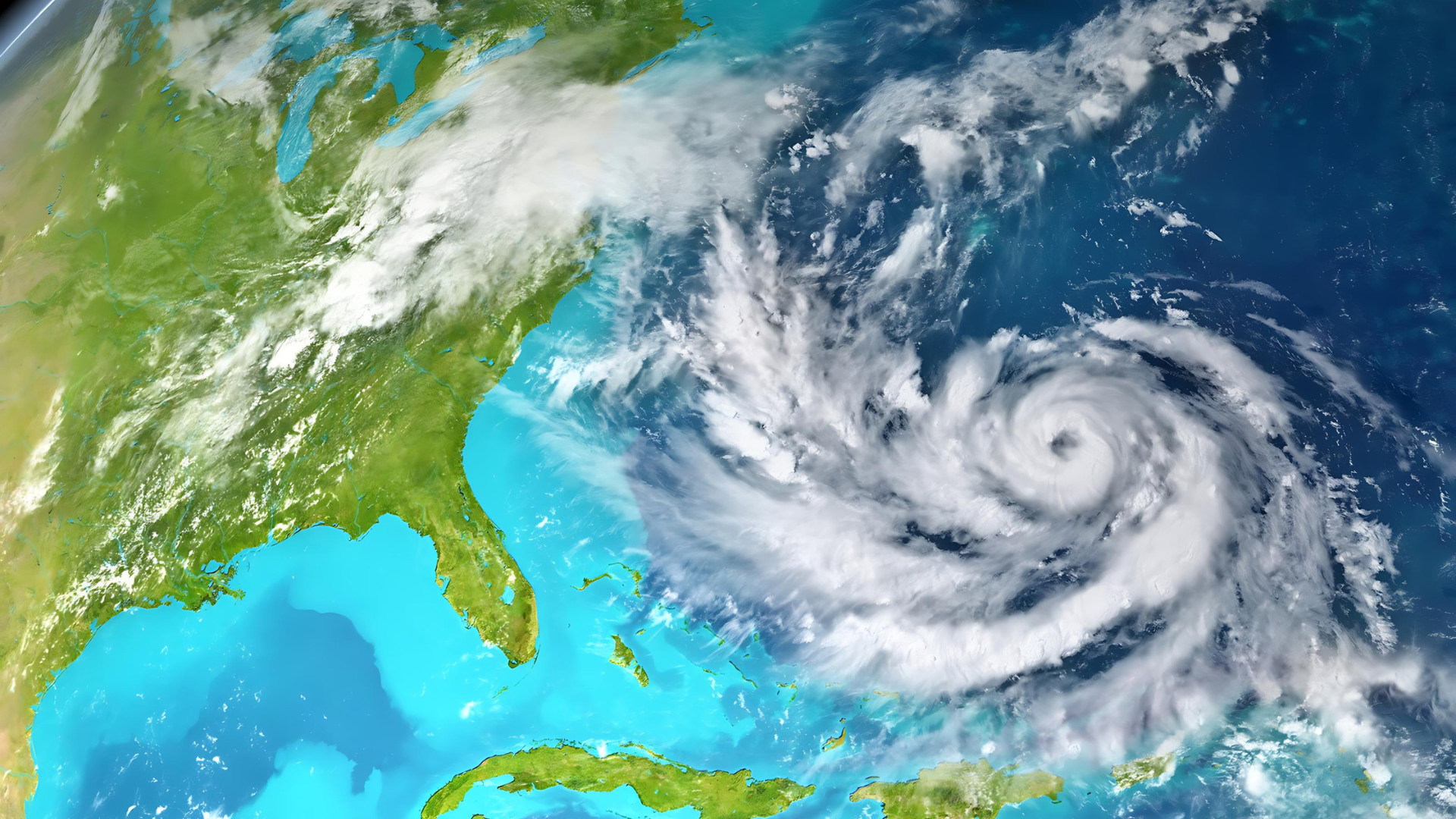
The Indian Meteorological Department has issued a high alert for the coastal regions of West Bengal, Odisha, and Bangladesh in anticipation of Cyclone Remal’s formation. It is expected to form over the east-central Bay of Bengal by the morning of May 25. This alert will remain in effect until May 26, urging residents and authorities to prepare for possible severe weather conditions.
The Indian Meteorological Department (IMD) and regional weather monitoring centers have been closely monitoring the development of Cyclone Remal, which has shown signs of intensifying into a significant weather system. This cyclonic disturbance is expected to bring heavy rainfall, strong winds, and potential storm surges along the coastal areas.
The IMD stated on Thursday that Cyclone Remal will subsequently track northward and approach the coasts of Bangladesh and neighboring West Bengal by the evening of May 26, manifesting as a severe cyclonic storm with winds ranging from 100 to 120 kmph.
Officials in West Bengal, Odisha, and Bangladesh have initiated precautionary measures, including evacuations from vulnerable areas, securing infrastructure, and deploying emergency response teams. The aim is to minimize the impact of the cyclone on human life and property.
The Indian Meteorological Department (IMD) has forecasted rough to very rough sea conditions due to Cyclone Remal over the central and adjoining South Bay of Bengal starting from May 23. These conditions are expected to extend to the North Bay of Bengal from the evening of May 24. By the morning of May 25, the sea state is predicted to become high over the central Bay of Bengal, escalating to high to very high levels over the North Bay of Bengal from the evening of May 25 until the morning of May 27, as per the IMD’s latest forecast.
In West Bengal, coastal districts such as South 24 Parganas, North 24 Parganas, and East Midnapore are on high alert, with authorities urging fishermen and coastal residents to stay away from the sea and take shelter in safe locations. Temporary shelters have been set up to accommodate evacuated individuals, ensuring their safety during the cyclone’s passage.
Similarly, in Odisha, districts like Balasore, Bhadrak, and Kendrapara are bracing for the cyclonic conditions, with the state government activating its disaster management protocols. Efforts are underway to secure coastal embankments, reinforce shelters, and ensure the availability of essential supplies in case of disruptions.
Bangladesh, with its extensive coastline along the Bay of Bengal, is also preparing for Cyclone Remal’s impact. The Bangladesh Meteorological Department (BMD) has issued warnings to maritime activities, advising ships and fishing vessels to remain cautious and seek safe harbor until the cyclone subsides.
The IMD indicated that there is a high probability that the cyclone will persist in its northeastward trajectory and consolidate into a Depression over the central parts of the Bay of Bengal by the morning of May 24. Following this, it is highly likely to maintain its northeastward movement and further intensify into a cyclonic storm over the east-central Bay of Bengal by the morning of May 25.
Roxy Mathew Koll, a climate scientist at the Indian Institute of Tropical Meteorology, had warned on Sunday that a low-pressure system would develop in the south Bay of Bengal during May 22–23.”


