China is conducting extensive mapping across the Pacific, Indian, and Arctic oceans (AI IMAGE)
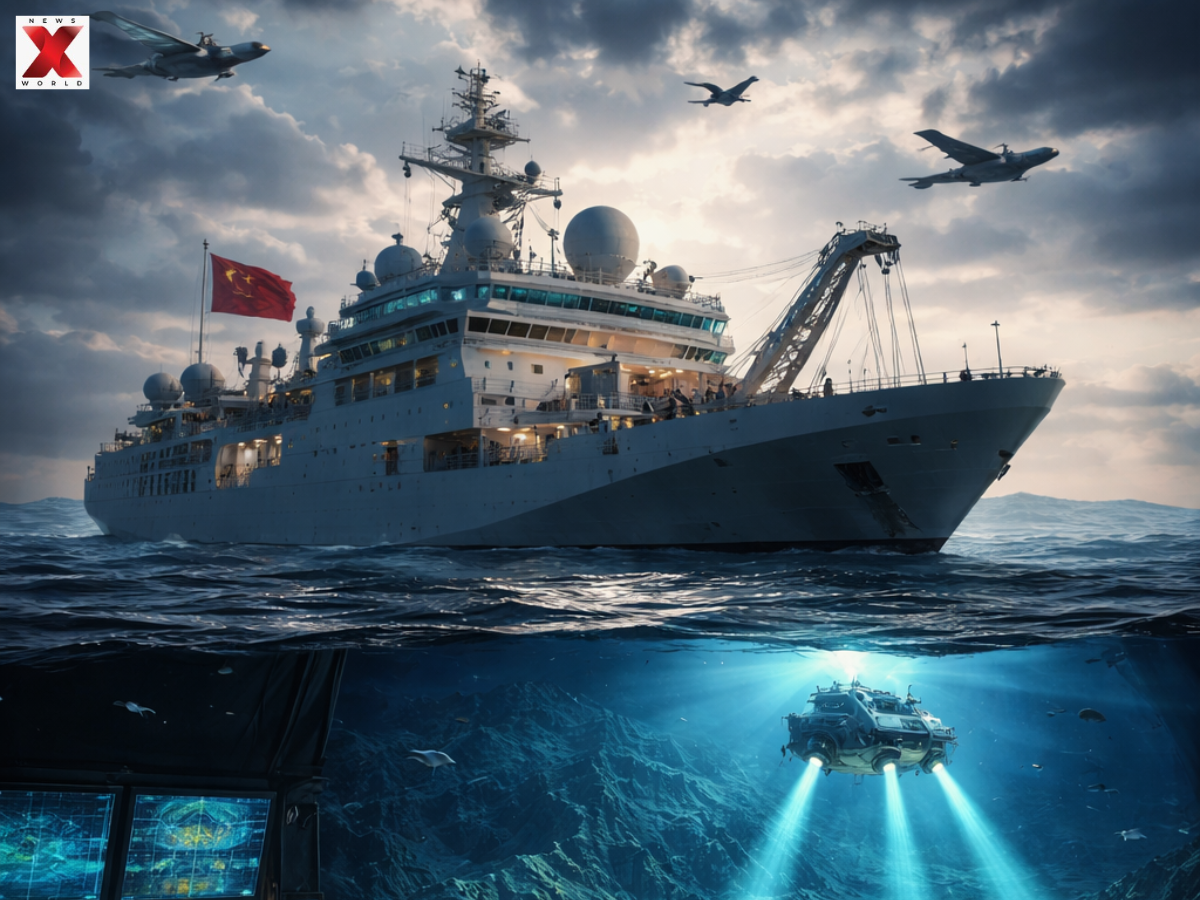
CHINA CONDUCTS OCEAN MAPPING: In order to gain a thorough understanding of the marine conditions that naval experts believe are essential for conducting submarine warfare against the United States and its allies, China is undertaking a massive underwater mapping and monitoring operation throughout the Pacific, Indian, and Arctic oceans.
For instance, according to ship-tracking data examined by Reuters, the Dong Fang Hong 3, a research ship run by Ocean University of China, spent 2024 and 2025 travelling back and forth in the waters close to Taiwan and the US stronghold of Guam, as well as around key areas of the Indian Ocean.
According to Ocean University, it examined a set of potent Chinese ocean sensors that could detect submerged objects close to Japan in October 2024 and returned there in May of last year.
The ship was conducting climate research and mud surveys, according to the university.
However, it has also carried out extensive deep-sea mapping, according to a scientific paper co-written by Ocean University academics.
According to US Navy officials and naval warfare experts, the Dong Fang Hong 3’s deep-sea data collection, which involves mapping and placing sensors in the ocean, is providing China with a picture of the subsea conditions it would need to deploy its submarines more efficiently and hunt down those of its adversaries.
According to a review of Chinese state media articles, vessel descriptions published by Chinese universities, and press releases by government organisations, at least eight of the vessels Reuters tracked have carried out seabed mapping, and another ten have carried mapping equipment.
According to naval experts, the information that Chinese research vessels are gathering about the seabed and water conditions is essential for anti-submarine warfare and submarine operations.
In order to avoid collisions and conceal their vessels, commanders most obviously need knowledge of underwater terrain, according to Australian defence scholar Parker.
However, since submarines operate within a few hundred meters of the surface, that data is also crucial for their detection. Submarines are usually recognised by the noises they make or by the echoes of signals sent by sonar systems.
According to ship-tracking data, China is concentrating part of its seabed-surveying efforts on militarily significant waters near Guam and Hawaii, the Philippines, and US military installations on Wake Atoll in the north Pacific.
Additionally, China occasionally disables tracking on its civilian survey ships, suggesting that its campaign may be more extensive than Reuters could ascertain.
The scope of China’s mapping and monitoring efforts throughout the Pacific, Indian, and Arctic oceans has never been documented before.
The scientific process of measuring and displaying the topography of the seafloor while gathering precise information on its depth, shape, and composition is known as ocean mapping.
It generates 3D terrain maps that are essential for resource exploration, navigation, habitat mapping, and comprehending geological hazards using technologies like multibeam sonar and satellites.
For naval operations during a war, ocean mapping is crucial because it provides vital information for stealthy deployment, submarine navigation, and anti-submarine warfare (ASW).
Submarine Navigation & Stealth: High-resolution mapping of the seafloor helps submarines move safely at deep levels, avoid underwater hazards, and remain less detectable.
Tracking Enemy Submarines: By studying ocean conditions like temperature and salinity, militaries can fine-tune sonar systems to better locate enemy vessels that travel through predictable underwater paths.
Control of Strategic Zones: Mapping efforts often focus on key chokepoints—such as areas around Taiwan, Japan, and major trade routes like the Malacca Strait—to gain a tactical edge during conflicts.
Underwater Surveillance Networks: Detailed ocean surveys support the deployment of advanced sensor systems, creating near “transparent oceans” that allow real-time monitoring of rival submarine activity.
The final episode of Meri Zindagi Hai Tu struck an emotional chord with viewers. Featuring…
IPL 2026: Who is Kal Somani — Everything You Need to Know About Rajasthan Royals’ New Owner
The Rajasthan Royals franchise has reportedly been acquired by US-based businessman, Kal Somani. for a…
PM Narendra Modi and US President Donald Trump spoke over the phone, discussing the escalating…
