Delhi Weather Today, 28 April 2026
The Nation is currently in a meteorologically strange zone as the India Meteorological Department (IMD) has declared a high-alert status for Monday, April 27, 2026. Delhi and its National Capital Region (NCR) which includes Noida and Gurugram and Ghaziabad, are currently in an extreme heatwave with temperatures peaking between 43°C and 45°C. The region has experienced a high temperature as dry northwesterly winds and clear skies have continued for 48 hours. The atmospheric conditions of the area currently experience a quick transformation.
A new Western Disturbance has established its presence in Northwest India which produces a “split weather” pattern. The afternoon will bring extreme temperatures, which will activate an Orange Alert for safety, but moisture-filled winds from the hills will start bringing isolated thundery developments and very light drizzle by late evening. The pre-monsoon season displays unstable weather patterns, which result in sudden heat stress followed by localized weather changes.
The present temperature path for Delhi NCR shows that the day will become extremely difficult because the highest temperature will remain around 44°C, which exceeds the typical seasonal temperature. The local authorities implemented their Heat Wave Action Plan 2026 because “Loo” wind conditions produce hot dusty winds that reach speeds of 50 kmph. The protocol requires people to stay indoors between 12:00 PM and 4:00 PM, which represents the time when the UV index reaches its highest point and people face their greatest risk of heat exhaustion.
The plains of Delhi experience permanent dry weather conditions while the higher elevations of Jammu & Kashmir and Himachal Pradesh experience isolated snowfall and sleet because of the current disturbance. The nighttime period will provide only slight recovery because the minimum temperature will stay at 28°C, which creates an effect of warm and humid early morning air.
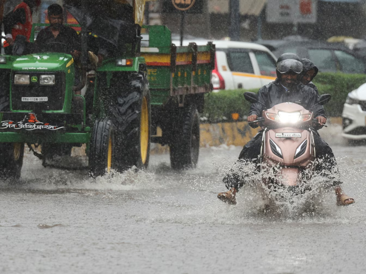
The Indian Meteorological Department’s city-based weather forecast indicates a 20 percent chance of light rain and thunderstorms throughout the day. The phenomenon known as “thundery development” occurs in late April because intense surface heating causes air to ascend quickly, which results in the creation of localized clouds under dry weather conditions. The weather forecast for today shows no substantial precipitation, but the brief dust storms known as “Andhi” will produce a slight and short-term temperature reduction.
The weekly pattern shows increasing instability, which will reach its highest point on Friday, when there is a 40 percent probability of rainfall that will decrease maximum temperatures to 38°C. People who belong to sensitive groups must exercise caution because the combination of Poor Air Quality Index (AQI) 228 and upcoming dust from Rajasthan creates unsafe respiratory conditions during periods of extreme heat and airborne particulate matter.
Bhumi Vashisht is a passionate media graduate and emerging voice in digital journalism, currently working with NewsX as an Entertainment and Viral Content Writer for the past 10 months. With a strong understanding of trending digital culture, celebrity news, and audience engagement, she specializes in crafting compelling entertainment stories and viral content that resonate with modern readers. Known for her creative storytelling approach and sharp eye for trends, Bhumi brings fresh perspectives and strategic content ideas to the fast-paced media industry.
Pope Leo XIV's Return Flight Disrupted by Technical Fault, Forced to Stop in Canary Islands
Pope Leo XIV's return flight from Spain was delayed after a technical fault forced an…
Midland Texas Mass Shooting: One Dead, At Least 11 Injured
A mass shooting in Midland, Texas, left one person dead and at least 11 others…
Araghchi Hints At Breakthrough As Trump Shares His Post
Iran said a proposed memorandum with the US is close to finalisation but urged media…