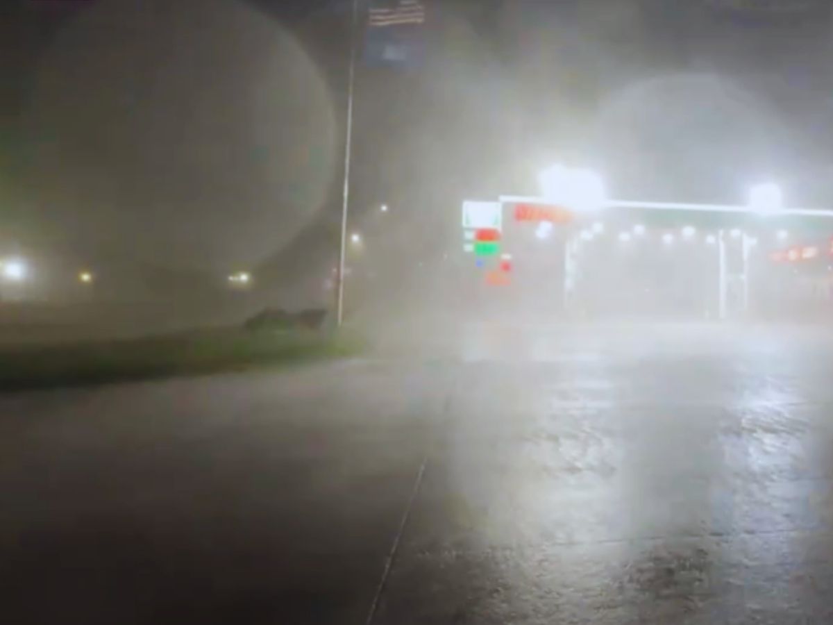
A line of intense storms tore through the Upper Plains into the Midwest late Monday into early Tuesday, bringing hurricane-strength winds and widespread damage, according to a report published by The Associated Press. The National Weather Service (NWS) has preliminarily classified the event as a derecho, a long-lived windstorm characterized by straight-line winds stretching over 240 miles.
Wind Gusts Hit Speed of 99 MPH
According to the report, the most extreme gust was recorded at Sioux Center, Iowa, where winds hit 99 mph just before 10 pm Monday. Many other areas across South Dakota, Iowa, Minnesota, Wisconsin, and western Illinois reportedly witnessed winds over 75 mph, the report stated, citing the NWS Storm Prediction Center.
The storm snapped trees, brought down limbs, and caused structural damage throughout the region, the reprt said, adding that thousands of homes and businesses were left without power by midday Tuesday.
A destructive derecho brought hurricane-force wind gusts across the central US last night, snapping trees and knocking out power for thousands. This was the scene and damage in Beresford, South Dakota. pic.twitter.com/rhc5kZ7KIn
— AccuWeather (@accuweather) July 29, 2025
What Is a Derecho?
A storm is categorised as a derecho when it has accompanying wind gusts of at least 58 mph along most of its path, stretching more than 240 miles. While Monday’s storm met those benchmarks, meteorologists say it wasn’t as severe as some recent weather events.
Lighter Rainfall Than Expected
Meanwhile, rainfall totals were lower than what was initially feared. “It looks like everything certainly stayed under two inches,” Alexis Jimenez, a meteorologist with the NWS in Des Moines, told AP, adding, “It is southwest Iowa’s turn for thunderstorms with heavy rain.”
More Storms on the Horizon
Weather forecasts have predicted another wave of storms for Tuesday night into Wednesday.
The NWS has forecast severe thunderstorms across southern Montana, the central High Plains, and much of Nebraska and Iowa through Wednesday.


