


The Indian Space Research Organisation (ISRO) has released a report highlighting significant expansion of glacial lakes in the Himalayas, particularly in India. The findings, based on satellite data archives spanning the past three to four decades, underscore the urgent need for attention to the cascading consequences of warming-induced lake expansion in the region, experts warn.
According to the report, at least 89 percent of the 2,431 glacial lakes identified in the Himalayas during the 2016-17 period have notably expanded since 1984. This trend, attributed to warming temperatures, has raised concerns among experts about potential downstream impacts.
The long-term satellite imagery covering the catchments of Indian Himalayan river basins from 1984 to 2023 reveals significant changes in glacial lakes, with 676 lakes larger than 10 hectares experiencing notable expansion. Notably, 130 of these lakes are located within India, distributed across the Indus, Ganga, and Brahmaputra River basins.
Elevation-based analysis further reveals that a significant number of these expanding lakes are situated in elevations ranging from 4,000 to 5,000 meters and above 5,000 meters. Among the expanding lakes, the majority are categorized as Moraine-dammed, followed by Erosion, other, and Ice-dammed glacial lakes.
ALSO READ : Everest Spice Brand Clarifies: “Not Banned, Only 1 Product Recalled In Singapore” Amidst Controversy
One striking example highlighted in the report is the Ghepang Ghat glacial lake in the Indus River Basin, situated at an elevation of 4,068 meters in Himachal Pradesh, India. The lake has witnessed a staggering 178 percent increase in size from 1989 to 2022, with an average annual growth rate of approximately 1.96 hectares.
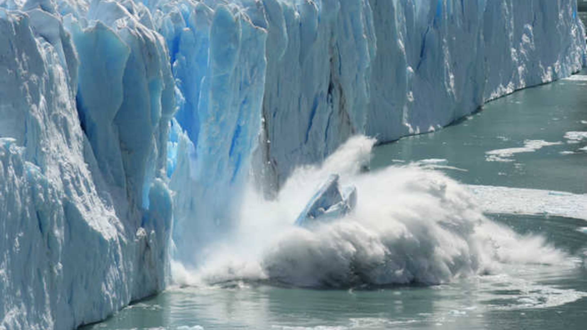
The expansion of glacial lakes in the Himalayas is a matter of significant concern due to the associated risks, particularly Glacial Lake Outburst Floods (GLOFs). These events occur when glacial lakes release large volumes of meltwater, posing severe flooding risks downstream. Factors such as avalanches, extreme weather events, and environmental changes can trigger the failure of natural dams, leading to GLOFs.
ISRO underscores the importance of satellite remote sensing technology for inventorying and monitoring glacial lakes, given its wide coverage and revisit capability. Understanding glacial lake dynamics is crucial for assessing environmental impacts and developing strategies for GLOF risk management and climate change adaptation in glacial environments.
The findings of the ISRO report highlight the urgent need for coordinated efforts to address the escalating challenges posed by expanding glacial lakes in the Himalayas. As glaciers continue to retreat at unprecedented rates, proactive measures are essential to mitigate risks and safeguard vulnerable communities downstream.