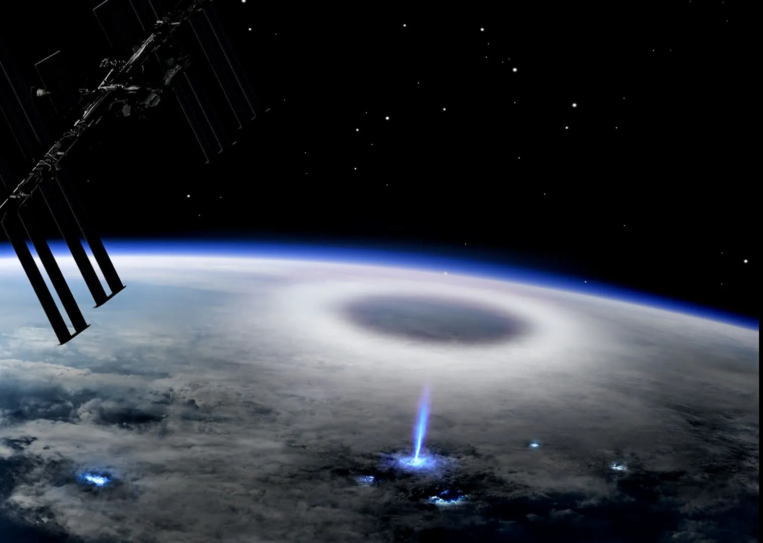
As storms grow stronger and more unpredictable, scientists are using space-based tools to understand how they form, evolve, and impact Earth.One of the most valuable platforms for this research is the International Space Station (ISS). Orbiting approximately 400 kilometers above Earth, the ISS provides a unique perspective for studying the dynamics of severe weather.
Photographing Storms from Orbit
Astronauts aboard the ISS frequently capture high-resolution images of major storms from space. These include tropical cyclones, hurricanes, and thunderstorms.
Such images offer researchers detailed visual data to analyze storm structure, size, and intensity in ways not possible from the ground.
Advanced Instruments for Storm Research
In addition to astronaut photography, several scientific instruments on the ISS are dedicated to studying storms and atmospheric phenomena.
ASIM (Atmosphere-Space Interactions Monitor)
Developed by the European Space Agency, ASIM is mounted on the exterior of the ISS.
It observes rare high-altitude events like sprites, blue jets, elves, and terrestrial gamma-ray flashes.
These events occur above thunderstorms and play a role in atmospheric chemistry and electrical activity.
Lightning Imaging Sensor (LIS)
LIS tracks lightning across the globe, including over oceans and remote regions.
It provides data on lightning frequency, distribution, and intensity, helping meteorologists improve real-time storm forecasting and better understand storm severity.
CyMISS (Cyclone Intensity Measurement from the Space Station)
This project uses high-resolution cameras on the ISS to take stereo images of storm systems.
By analyzing differences in images taken from different angles, scientists can estimate the height of cloud tops and assess cyclone intensity.
CubeSats and RainCube
Small satellites launched from the ISS, like RainCube, carry radar systems capable of measuring precipitation inside storm systems.
These compact tools allow researchers to study storm structure, rainfall rates, and development in greater detail.
Why the ISS Matters in Storm Research
The ISS covers most of the world’s tropical and mid-latitude regions, where the majority of severe storms occur.
Its low-Earth orbit allows detailed observation of cloud formations, while the presence of astronauts enables direct control and maintenance of instruments.
The ISS’s mobility and range offer researchers the flexibility to observe storms at different stages of their lifecycle.
Impact on Forecasting and Safety
The data collected from the ISS contributes to:
Improving the accuracy of storm prediction models
Supporting early warning systems for extreme weather events
Advancing the understanding of atmospheric electricity
Enhancing safety for aviation and satellite operations
The International Space Station serves as a powerful tool in the study of Earth’s most violent and complex weather systems. Through its unique vantage point and advanced instrumentation, it continues to deepen our understanding of how storms work and how we can better prepare for their impact on our lives.


