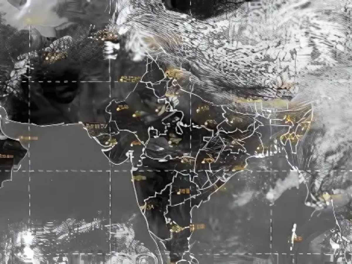
The India Meteorological Department (IMD) has released a robust alert for the monsoon for Central India, West Coast, and Ghat regions forecasting Extremely Heavy Rainfall from 6th to 8th July. The alert is in place for states including Madhya Pradesh, Chhattisgarh, Jharkhand, Odisha, West Bengal, and Rajasthan and the adjacent Western Himalayan region.
Since June 1, the country has received 5% excess rainfall overall, while Central India, Northwest India and South Peninsular India recorded surplus by 22%, 22% and 1%, respectively. Meanwhile, East & Northeast India has experienced a deficit of -25%.
Cyclonic Circulations and Depression Drive Severe Weather
The IMD has announced that a depression formed over coastal West Bengal and northwest Bay of Bengal, which subsequently moved west-northwestwards and was located over north Chhattisgarh and adjoining Jharkhand. It will continue moving westwards across north Chhattisgarh and east Madhya Pradesh before finally weakening into a well marked low pressure by Sunday.
Several upper air cyclonic circulations are also influencing the weather:
-
Over Punjab and Haryana in the lower troposphere
-
Over southwest Madhya Pradesh in the lower and middle levels
-
Over south Gujarat in the lower levels
-
A western disturbance over Jammu and Kashmir in the lower and middle levels
-
Another system over northeast Assam in the lower troposphere
-
An off-shore trough extending from Gujarat to north Kerala coast
These weather systems are expected to trigger light to moderate rainfall at most places, often accompanied by thunderstorms, lightning, and gusty winds of 30–40 km/h in several regions.
Heavy Rainfall Forecast for Over 20 States Through July-End
The IMD has highlighted the following rainfall alerts:
-
Extremely heavy rain over West Madhya Pradesh on July 29, East Rajasthan on July 27–28, and Himachal Pradesh on July 29
-
Very heavy rainfall over Uttarakhand on July 27–28, West UP on July 28, and Rajasthan till July 30
-
Isolated heavy rain over J&K (July 28–30), HP (July 27–30), Uttarakhand (till August 1), Haryana-Chandigarh (July 28–29), East & West UP (July 27–30), Sub-Himalayan West Bengal & Sikkim (July 27, 28, 31 and August 1), Jharkhand (till July 31), and Odisha (on July 31)
Meanwhile, Skymet Weather’s Vice President Mahesh Palawat said that the depression will move south of Delhi, and moderate to heavy rains are likely over Delhi NCR, Uttar Pradesh, and nearby areas in the coming days.
Recent Heavy Rainfall Observations Across States
In the past 24 hours, extremely heavy rainfall (21 cm or more) was recorded at isolated spots in the ghat regions of Madhya Maharashtra and coastal Karnataka.
Other regions that saw heavy to very heavy rainfall (7–20 cm) at isolated locations include:
-
Uttarakhand, East UP, East Rajasthan, Madhya Pradesh, Gujarat region
-
Chhattisgarh, Odisha, Jharkhand, Sikkim, Konkan, South Interior Karnataka
-
Tamil Nadu, Puducherry & Karaikal
Heavy rainfall (7–11 cm) was also reported from Haryana, Bihar, Arunachal Pradesh, Assam, Gangetic West Bengal, Vidarbha, Goa, Marathwada, Telangana, Coastal Andhra Pradesh, and Kerala.
ALSO READ: Who Was Rajendra Chola I And Why Is Modi Honouring Him Now? Inside PM’s Tamil Nadu Push


