
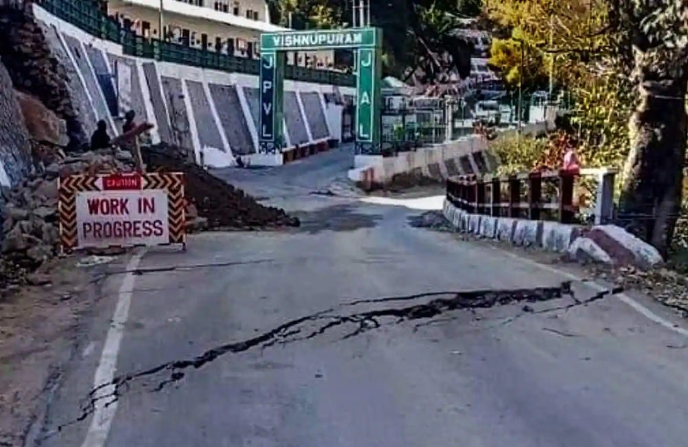
To obtain better survey data, the Disaster Management department intends to undertake the geophysical survey at ten different locations throughout Joshimath.
“The drainage department has opened a tender for drainage plan, and we will keep track of where the work has progressed,” Ranjit Kumar Sinha, Secretary of Disaster Management, said at a news conference on Saturday.
He went on to say “It was determined in the cabinet that we would work on the Toe Erosion. We were told to acquire a timeframe from the officials and then start working on transferring individuals.”
He stated that four firms bid on the drainage contract, and that the company with the necessary technical ability will be shortlisted.
He stated “Cracks do appear on buildings in hilly locations. However, if large fractures appear, appropriate action must be done. We have also reported this to the authorities.”
Dr. Sarkar, a geologist, also spoke at the press conference, stating that they want to do the geophysical study throughout Joshimath.
He further added “The geophysical survey is already underway. The acquired data will subsequently be interpreted. It will take time since soils must be dug and then shipped to laboratories. We want this poll to take place in 10 different locations within Joshimath in order to acquire better findings “
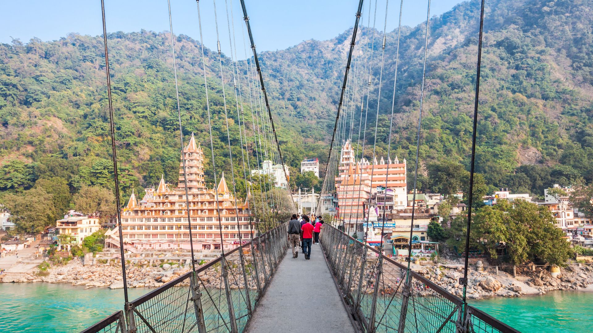
Joshimath, commonly known as Jyotirmath, is a city and municipal board in Uttarakhand’s Chamoli District. It is a gateway to various Himalayan mountain climbing adventures, hiking paths, and pilgrim centres such as Badrinath, and is located at a height of 6150 feet (1875 m).