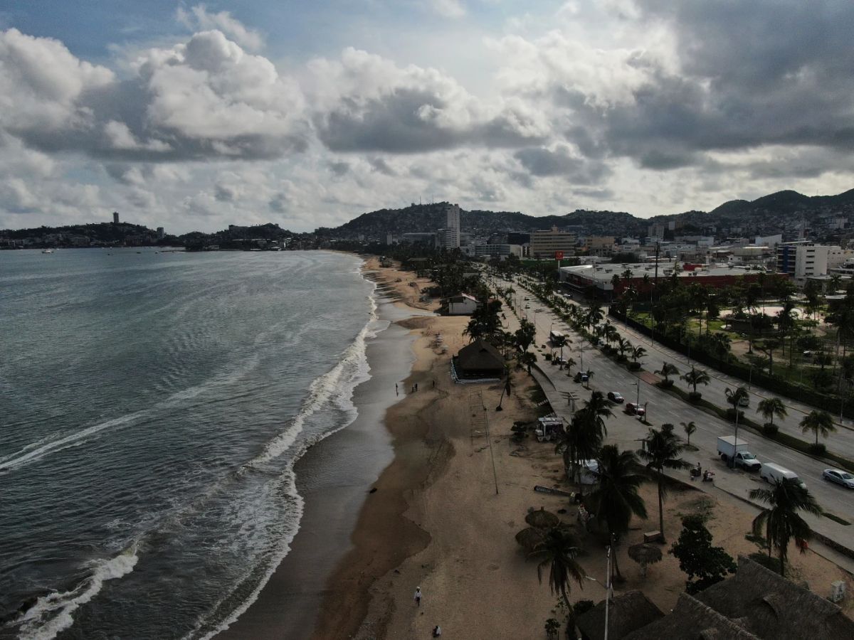
Hurricane Erick made landfall early Thursday in Oaxaca, a western state in Mexico, as a Category 3 storm, The Associated Press reported, citing the US National Hurricane Center. Earlier on Thursday, Erick was upgraded to an “extremely dangerous” Category 4 storm as Mexico’s Pacific coast braced for its direct impact, the report said, citing the weather tracking centre. Here is what we know so far:
Hurricane Erick Strikes Oaxaca
- According to the US National Hurricane Center (NHC), cited by the AP, the storm’s center was about 20 miles (30 km) east of Punta Maldonado with winds reaching 125 mph (205 kph).
- It was reportedly moving northwest at 9 mph (15 kph).
- The storm was downgraded from a Category 4 to a Category 3 before making landfall.
What Did the Early Forecasts Suggest?
- Before landfall, Erick was upgraded to a ‘Category 4’ hurricane, classified as “extremely dangerous” by the NHC.
- At its peak, Erick had maximum sustained winds of 145 mph (230 kph), per the AP report.
- It was expected to bring destructive winds, flash floods, and a dangerous storm surge to the Pacific coast of Mexico.
Hurricane Erick’s Shifting Path and Its Impact on Local Areas
- Initially projected to hit Acapulco, the storm’s path shifted south, moving toward Puerto Escondido in Oaxaca state, the report said.
- The region was placed on high alert, with President Claudia Sheinbaum urging citizens to stay indoors or move to shelters if in low-lying areas.
- By nighttime, waves were crashing onto the Puerto Escondido esplanade, reportedly causing flooding in waterfront restaurants.
- Fishermen in the area were reported to have pulled their boats out of the water, and the streets were vacated as people rushed to prepare for the hit.
Acapulco Braces for Another Storm
- Acapulco, still recovering from Hurricane Otis (2023), was preparing with added caution, with Governor Evelyn Salgado announcing the suspension of all activities in the area and surrounding beach communities starting at 8 pm, according to the AP report.
- Schools were closed for a second day as citizens braced for more destruction.
Preparations in Place Amid Warnings of Heavy Rain and Flood Risk
- Erick was expected to bring heavy rainfall, with up to 16 inches (40 cm) of rain across Oaxaca and Guerrero, causing serious flooding and mudslides.
- Flooding risk was heightened due to the region’s steep terrain and numerous rivers, according to civil defense authorities cited by the publication.
- Laura Velázquez, Mexico’s National Civil Defense Coordinator, told AP, “Erick is forecast to bring torrential rains to Guerrero, Oaxaca, and Chiapas. This region is especially prone to mudslides.”
- Evacuation orders and shelter preparations were in full swing as the storm advanced, the report further said.
Erick rapidly doubled in strength within 24 hours, which experts say poses challenges for forecasting and preparation. The weather centre noted that 2024 had already seen many instances of rapid intensification, making storm tracking difficult, as reported by The Associated Press.
ALSO READ: US Resumes Visa Processing for International Students With New Social Media Requirement


