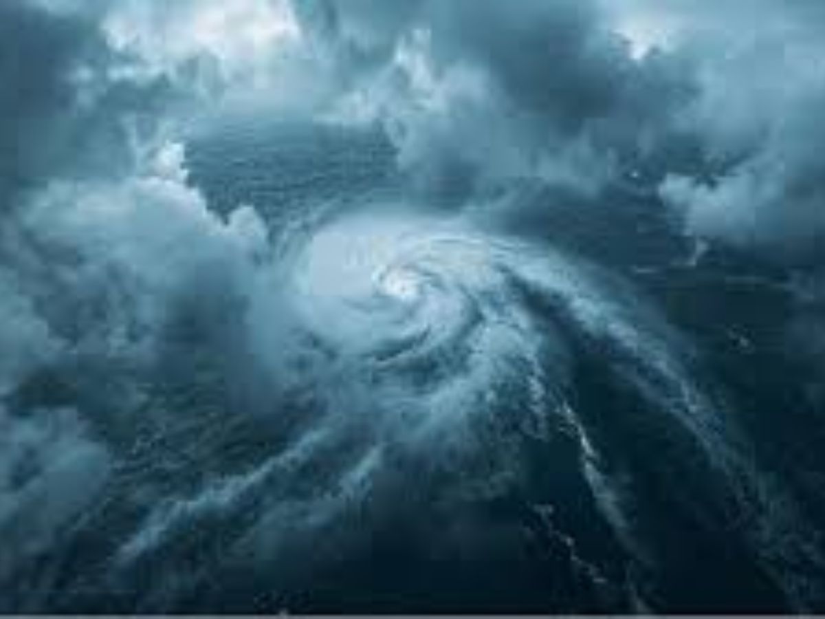
Cyclone Montha formed over the Bay of Bengal and moved toward the eastern coast of India. The India Meteorological Department (IMD) confirmed that it made landfall along the Andhra Pradesh coast near Kakinada on the evening of October 28, 2025, as a severe cyclonic storm with winds of 90 to 100 kilometers per hour (kmph) and gusts of over 110 kmph. After crossing the coast, Montha moved north and weakened slowly after going inland.
Storm Intensity and Impact
Cyclone Montha moved into the Andhra Coast bringing lots of heavy rain and strong wind and had definitely created some rough seas and fallen trees in some areas of the coast. It was reported that one person died in Andhra Pradesh when a tree fell because of the wind. Many farmers experienced crop losses because of the cyclone. The state of Odisha, India’s neighboring state appeared to be mostly unscathed as some areas received considerably less rain and wind than originally forecast.
Preparedness and Safety Activities
Governmental officials of Andhra Pradesh, Odisha, and of other and nearby states responded with seriousness to the cyclone and preparations were taken well in advance. Thousands of people were evacuated from maritime areas, which are at risk, to safety shelter centers. Local governmental agencies made shelter centers available for disaster relief as well as informed residents of the situation. Fishermen were advised to depart to the mainland and not to go to sea during effect of the cyclone. All of these actions helped mitigate the damage of the storm, and more people were safe as a result.
What to Expect After
After landfall, Cyclone Montha weakened from a severe cyclonic storm to a cyclonic storm. It is anticipated Cyclone Montha will continue to weaken and will soon move inland, and will become a deep depression. Rain and wind will remain a possibility for a short time over the coastal areas and inland region. The most severe aspects of the event are over. The meteorological departments will continue to monitor the event as well.
Final Advisory for Residents
Residents within the affected regions should continually monitor the news and weather reports from the governmental agencies. It is also advised that all residents of the impacted areas avoid all rivers, lakes, and/or the sea when it is raining or windy with heavy and/or sustained rain or wind. Most certainly at the call of the government, taking safety precautions will help minimize risk of exposure to the event.
The information provided is based on updates from the India Meteorological Department (IMD) and other official weather sources. Forecasts may change as new data becomes available. Readers are advised to follow government advisories and local authorities for safety instructions.
Vani Verma is a content writer with over 2 years of experience in lifestyle, entertainment, health and digital media. She has a knack for creating engaging and research-driven content that resonates with readers, blending creativity with clarity. Passionate about media trends, culture, and storytelling, she strives to craft content that informs, inspires, and connects.


